
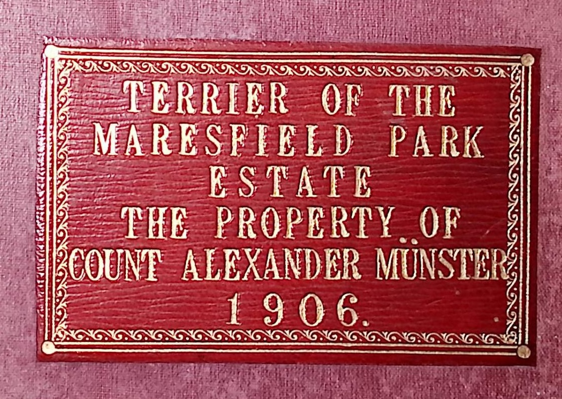
No, it’s not a dog! A property terrier is a detailed register or survey of land in an estate, recording ownership, boundaries, acreage, tenants, and rents.
Maresfield Historical Society acquired this magnificent-looking leather-bound terrier book, which records the extent of the Maresfield Park Estate in 1906 in beautiful copperplate handwriting, with occasional pencil notes.
To browse through the Terrier, click on the flipbook below – you can enlarge it with the “fullscreen” button
The terrier is organised into three sections:
- A Summary (3 pages) listing each tenant, the total area of their land, and the Folio Number(s) which contain the detail of their holdings
- A Numerical Index (4 pages) which lists the relevant Field Parcel numbers for each parish against the Folio number, allowing you to see who was renting any specific property.
- The Folio pages which list each Tenant’s Field Parcels, the type of land (Arable, Pasture, Homestead, etc), and the area in Acres, Roods, and Poles (or Perches). 4 Roods make up an Acre, and 40 Poles make up a Rood.
The 1906 Terrier for Maresfield Park contains two sets of Folio pages (each numbered 1-26) – presumably the later pages are a newer set.
Field Parcel numbers
Field Parcel numbers were issued by the Ordnance Survey and identified the particular parcel of land within each Parish (so parcel 1067 in Maresfield Parish is not the same as parcel 1067 in Fletching parish).
Confusingly, Field Parcel numbers regularly changed when the OS issued new maps, so you also need to refer to the correct maps for this period – the 1897 “Second Edition” of the 25-inch OS Maps, published in 1899:


